Using a GPS to Collect Information
With the advent of GPS and other locating devices, firefighters have taken an active roll in mapping information. However when the data is collected it tends to come in a variety of “inconsistent” forms. While it is great that firefighter take the initiative to collect information using a GPS, often is the case where that information is pretty much useless. The reason include

- Poor accuracy of “recreational” GPS. Most GPS units used for navigation have an accuracy of +/- 20-40 feet. This means that if you are taking a GPS reading of a fire hydrant, you will only get enough accuracy to put it in the “general area” of the true location. This often includes the other side of the road.
- Lack of information about which point you are collecting
- Unorganized data
Using a handheld GPS is great for collecting data where the information is temporary or general in nature. Examples of where using a lower end GPS include
- Helicopter Landing Zones
- Fire Perimeter (A constantly changing event)
- Drafting Sites
- or to give yourself a “gut check” on the location of a feature where you may have other information on the location
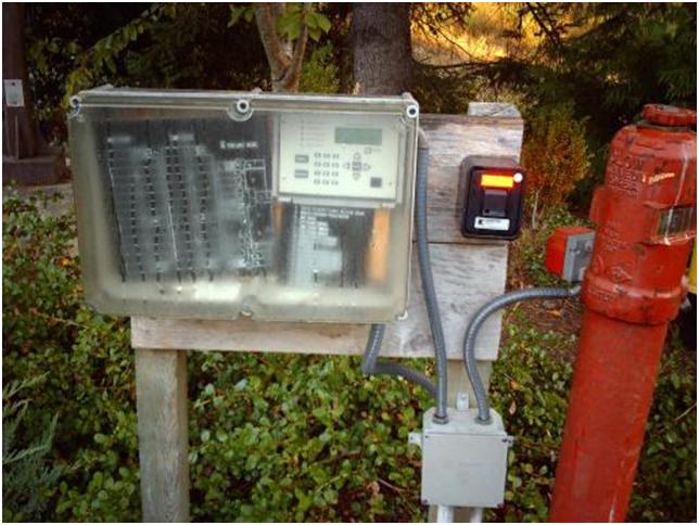
There are GPS units that can collect highly accurate data. Companies like Leica and Trimble make units that cost over $2000. And the survey quality units go for substantially more.�
Guidelines for collecting data in the field
If you do decide to collect information using a GPS here are some general guidelines
- Take an accurate map with you in the field to check your work. Sometimes it may be easier to use “dead reckoning” to verify the location of a feature
- Take a form that helps you categorize the feature somehow. An example is below
- Input the data in a spreadsheet. Click on the Excel icon for an example

| Latitude | Longitude | Feature | Description | Date | Who Collected |
|
-47.225 |
122.214 |
Drafting Site | Single Tender Access |
1/17/2008 |
|
|
-47.24 |
122.3 |
Helicopter Landing Zone | |||
|
-47.225 |
122.214 |
Drafting Site |