Building a Damage Assessment Toolkit
Mapping Tech in Public Safety is publishing a series of Podcast and YouTube videos about how Geographic Information Systems (GIS) can be used in Public Safety. The demos can include many types of datasets. Chris and Steve decided to create a Damage Assessment layer and continue to use this layer as the series continues. While our podcast is intended to be for the non-technical Public Safety personnel, some of the material may be technical to demonstrate the type of data that can be collected. Our intention is to have public safety personnel to understand the data and consider requesting a specific dataset from a GIS Professional and be able to explain the information that they wish to collect.

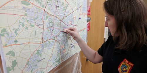
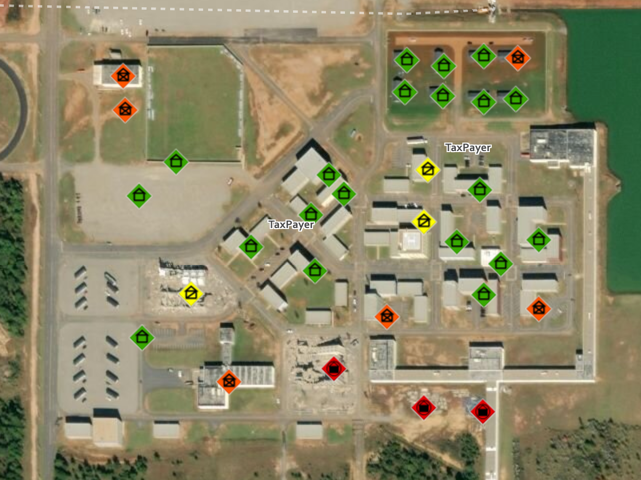
To begin this series, Chris and Steve demonstrate how to create a Damage Assessment layer and create some fields that will be inputted as buildings are assessed for damage. As we place points on these structures, we use and discuss the standard symbology set forth by the Federal Emergency Management Agency for Urban Search and Rescue (USAR) damage assessment. Remember how important standard symbology is for public safety. Similar to the importance of standards and common terminology in the National Incident Management System (NIMS), standard symbology is important as well. When USAR and Incident Management Teams from different areas of the country are deployed and working together, they are familiar with these symbols. These teams do not have to refer to a legend and figure out what information is being displayed on the map.

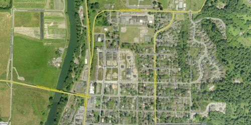
In a previous episode, Chris and Steve discussed GIS preparedness. Similar to other sorts of Public Safety preparedness, having certain datasets ready to go is important in GIS. A Damage Assessment type of dataset is a good type of dataset to have ready as part of GIS preparedness. A Damage Assessment layer can be created and have ready to be deployed during an incident. Structural damage is common in most natural or man-made disasters. Having this data ready to be deployed will fit into many different types of incidents.
The layer that we create and utilize has basic information such as data collected, type of structure, damage and user collecting the data. Other data fields could be added. Potentially adding incident name, type of incident, primary or secondary search for victims, is structure in a flood zone, etc are fields that could be added to the dataset. Another thing to consider for this dataset are default settings in the data. A default for Incident Name could be added before deploying the data. For example, Hurricane Chris could be set as the default eliminating the user from having to enter the name each time a data point is collected.
Below are some resources specific to Damage Assessment GIS solutions. These resources were shared with Mapping Tech in Public Safety by Paul Doherty from the National Alliance for Public Safety GIS Foundation.
- SAR and First Responder Survey – Interoperable with FEMA USAR and soon State Urban Search and Rescue Alliance (SUSAR)
- FEMA PDA – this is the standard form for preliminary damage assessment that FEMA recommends. It is not really a good tool for first responders as it is too long, but the SAR and First Responder Survey above does answer a few of the questions in the PDA
- Esri Solution – sort of mashup of FEMA PDA and other forms
The next episode in this series will be about how end users can collect damage assessment data during an incident.