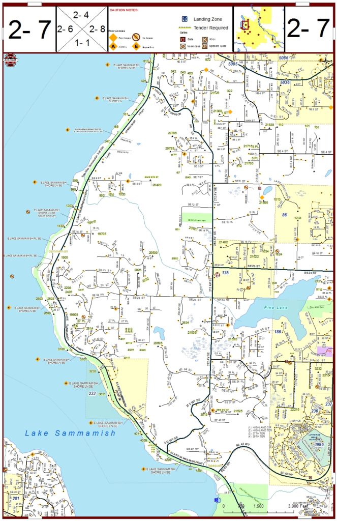
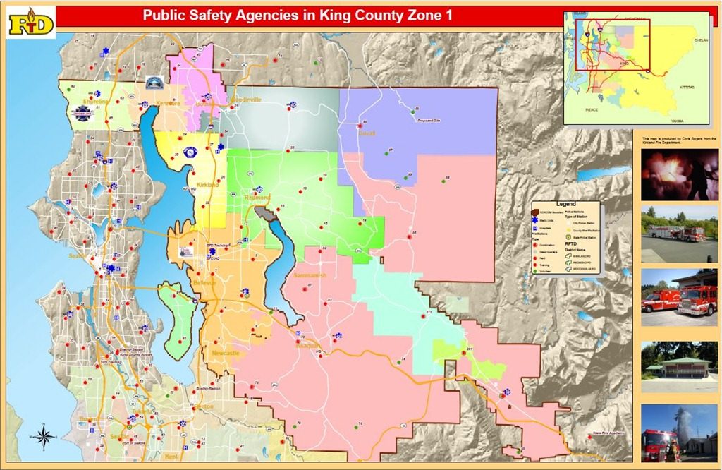
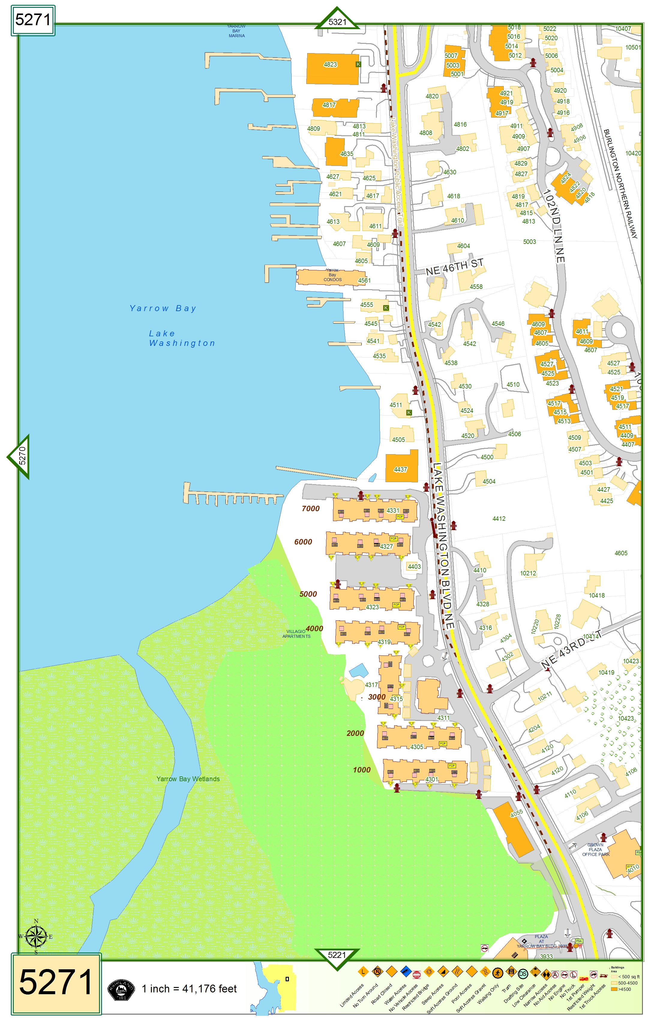
Map Gallery

My rule of thumb of map design follows

  • It is a tool just like an ax
  • The map should use as much real estate on the page as possible. That mean to the margin and use the space for needed preplan information
  • It should be readable while driving down the road in a ladder truck
This map is designed as a street map for a large fire district that covers about 200 square miles. This map is format to 11×17 page size with the map going to the margins as much as possible. The top is reserved for a simple legend, area map inset and caution information that relates to that particular map grid.
This map is a display map showing the fire stations in my region.  I took publicly available hillshading and overlaid jurisdictional boundaries of the different fire districts.  This map is meant to be a display piece.
This map is a regional map with a grid derived from the US national Grid.  The grid number is a locally used number with the scale at 1:24000.
This is a large format map page based on a local grid.  This page includes information that you may find on a preplan including building labels, fire department connections, alarm information, and knox box locations.