July 19, 2021
Using Survey123 in the Fire Service
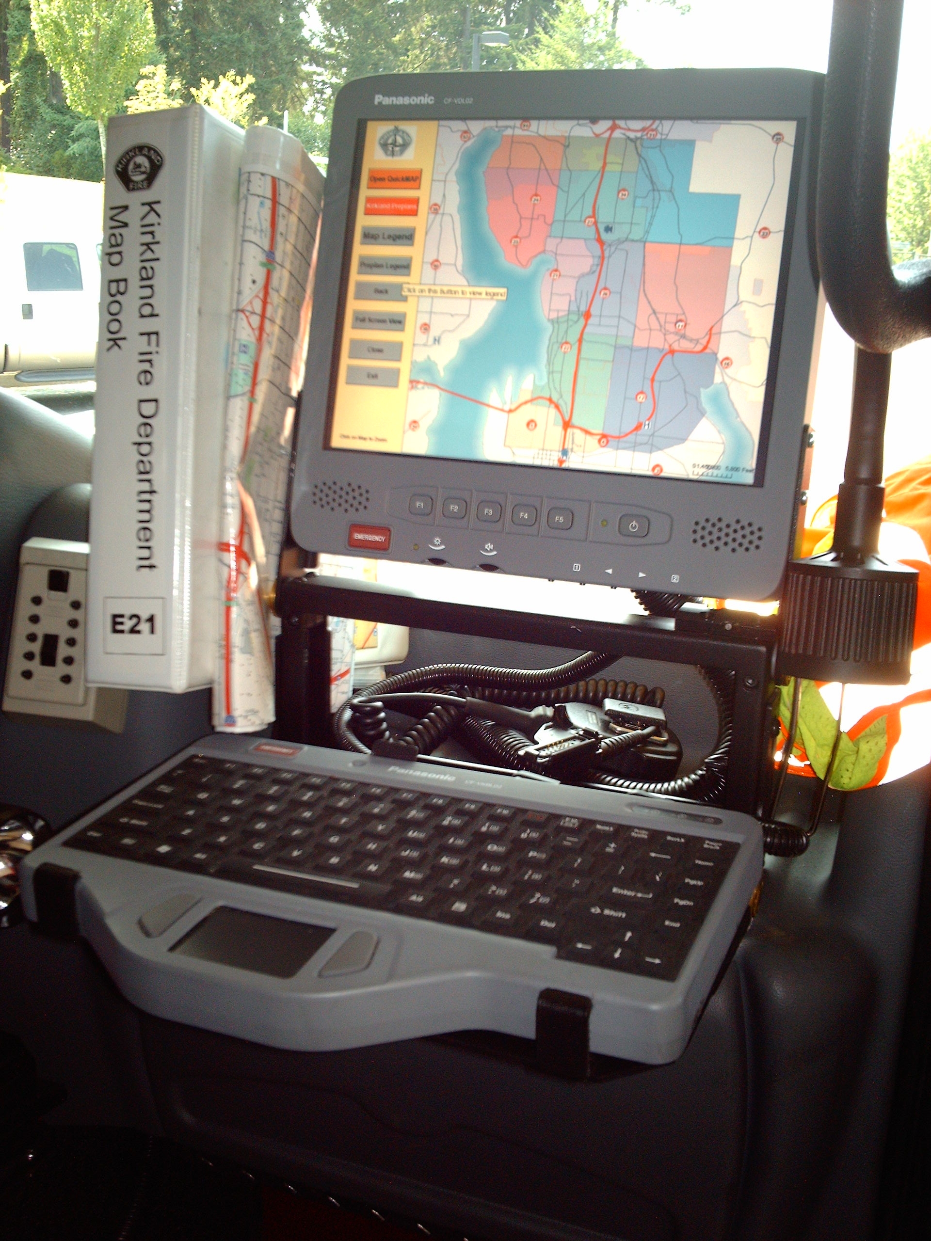
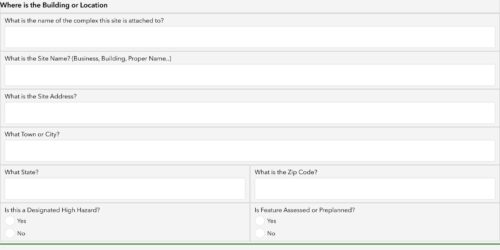
Survey123 is a form based data collection application that is apart of the AGOL/ArcGIS Enterprise platform. It is a customizable application that allows the creator to create user friendly forms for lay user to collect information. It does use a GIS based data layer (feature service) doesn’t rely on location……