GIS Preparedness


As Public Safety personnel, a major portion of our job is to be prepared. Checking out our apparatus, equipment, training for different types of events. We are prepared when an incident occurs. In the GIS Public Safety field, preparedness is just as important.
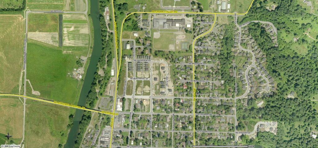
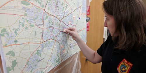
Assuring that the proper data is available, proper hardware and software, essential map templates and symbology are important assets for GIS. Training needs to occur with field personnel and with other Public Agency GIS units. This training can have field personnel familiar with reading maps, using mobile devices for data collection and have drills with other agencies to test map data sharing.
WIth the implementation of that National Incident Management System (NIMS), standards became common practice to assure commonality when Incident Management Teams (IMT) and Search & Rescue Teams work together. Standards also exist for GIS to assure the same commonality. Standards have been defined within Incident Command System (ICS) to identify certain maps that are needed during an incident. Type of maps defined are:
- Incident Action Plan maps
- Briefing maps
- Situation maps
- Transportation maps
- Progression maps
- Operation maps


