Using GIS in Next Generation 911
What happens behind the scenes with GIS when you call 911?
What is NG911?
Currently it is an analog system based on Master Street Addressing Guide (MSAG) and the Automatic Location Information (ALI) database. The ALI database is maintained by telecommunication companies for the local government agencies, whi ch is provided by telephone companies when a landline is installed. The ALI database populates the MSAG database which is utilized to route the call to the appropriate Public Safety Answering Point (PSAP). 911 hasn’t been upgraded in nearly 40 years.
 ch is provided by telephone companies when a landline is installed. The ALI database populates the MSAG database which is utilized to route the call to the appropriate Public Safety Answering Point (PSAP). 911 hasn’t been upgraded in nearly 40 years.
NG911 is an internet protocol (IP)-based system allowing for significantly better communication from digital devices such as cell phones. NG911 also allows for better data communication by allowing text messages, images and videos. In addition, these system can also handle automatic 911 calls from devices such as car computers, home alarms, wearable monitors, etc.
Many incidents have occurred when a 911 PSAP has been unable to correctly locate a 911 caller. Please see these websites for case studies of issues with 911 callers unable to be located:
- Kyle Plush – Cincinatti, Ohio
- Denise Amber Lee – Northport, Florida
- Shannell Anderson – Cherokee County, GA
NG911 as GIS based system
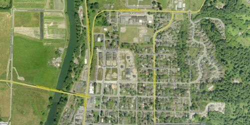
When a caller contacts 911, the caller is located on a map. Then the system does a spatial location of the point within polygon features, such as PSAP, Fire, Medical and Law boundaries. Note: other polygon boundary files could be included: for example, poison control. Initially, the location of the caller is spatially located within the PSAP boundary. The PSAP boundary file data then identifies which PSAP the call needs to be routed. In addition, the caller’s spatial location will identify the needed Public Safety agency’s (Fire, EMS or Law Enforcement) response areas for the type of emergency.
Currently, nearly 80% of 911 calls are from mobile devices. This is problematic due to cell phone GPS and Cell tower triangulation is not the greatest for accuracy. Device Hybrid Location improves accuracy. Apple and Google have both announced that Device Hybrid Location is currently integrated with their mobile devices. RapidSOS is a company that can use this technology to build a NG911 data clearinghouse to share with PSAP centers.
What GIS Data is Needed?
National Emergency Numbering Association (NENA) has defined standards for GIS data for NG911 systems defining which GIS layers are needed and what data is needed. These standards have been implemented to assure that the data can be utilized with other surrounding jurisdictions. Another important fact with NG911 data is accuracy. The data (spatially and tabularly) needs quality assurance checks and updated to meet a high level of accuracy.
Listen to our podcast to learn as we interview guests from GeoComm about GIS integration for NG911.
Learn more about NG911 from GeoComm’s Webinars.
Deb Rozeboom, ENP, PMP, GISP: is the general manager of GeoComm’s West Coast Office in Oregon. Deb is a public safety GIS professional with over 14 years’ experience leading numerous GIS, 9-1-1, and NG9-1-1 projects. She is a certified Emergency Number Professional, Project Management Professional, and GIS Professional. Deb also is actively involved in NENA serving on work groups such as the GIS Data Model for NG9-1-1, GIS Data Stewardship for NG9-1-1, and the Civic Location Data Exchange Format.
Kathy Liljequist is a GIS consultant with GeoComm and has led numerous projects specific to public safety, GIS and NG911. Kathy has been involved in many NENA committees including the Data Management COmmittee Co-Chair, Chair of Data Management Working Group; and a member of the NG911 GIS Data Model, the Site Structure Address Point and the ECRF/LVF Working Groups. In addition, Kathy has presented at conferences and other industry events across the country on issues related to GIS requirements for NG911.
Jessica Frye, ENP: is a GIS Project Manager for GeoComm. Jessica joined GeoComm in early 2016 and had 4 years prior service in the private sector in GIS sales and program management where the focus was on NG9-1-1 public safety GIS implementation. Prior to moving to the private sector Jessica worked 10+ years for the Kansas Adjutant General’s Department where she supported homeland security, emergency management and the Kansas National Guard. While at the state she served as a Governor’s appointee on the Kansas 911 Coordinating Council, where she lead the beginning of NG9-1-1 GIS for the state. Jessica is also actively involved in NENA serving on working groups such as the GIS Data Model for NG9-1-1, GIS Data Stewardship for NG9-1-1 and the Civic Location Data Exchange Format.