Understanding ArcGIS Online Uses for the Fire Service
This will be the start of an ongoing set of post to help explain and articulate what is the ArcGIS Online environment and some interesting uses for the fire service
What is ArcGIS Online
ArcGIS Online (AGOL) is an online environment for the maintenance and creation of geographic data (GIS). It is developed by ESRI, the largest GIS software company in the world. The reason why this is important to the fire service is this is the online environment that nearly all governmental bodies use in the United States. The main benefits or reasons for using the online ArcGIS environment (as opposed to desktop GIS software) includes
- Make shareable maps
- Create simple applications to support a particular task (such as damage assessment or inspection)
- Analyze geographic data
- Work with GIS Data. This is including data not owned by user
Why it is important to understand what AGOL is?
Since AGOL is the dominant platform for using and maintaining GIS data on line, it is likely that organizations around you are using it. Also in addition, other fire department that may be using it as well. Fire departments may be using iit for many of the following reasons
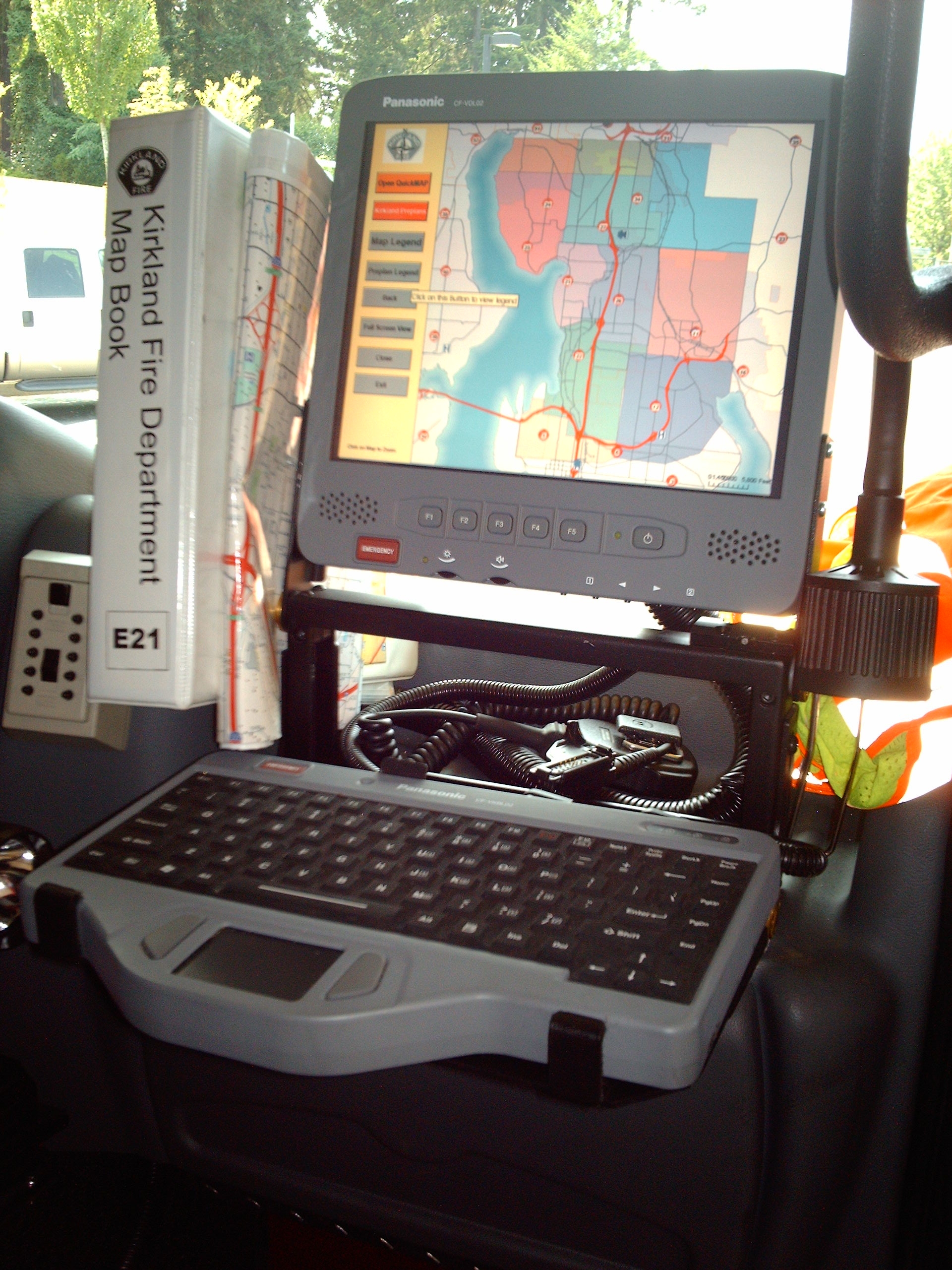
- “Map Book” or in vehicle mapping viewing and maintenance
- Pre-incident planning
- Hydrant inspections
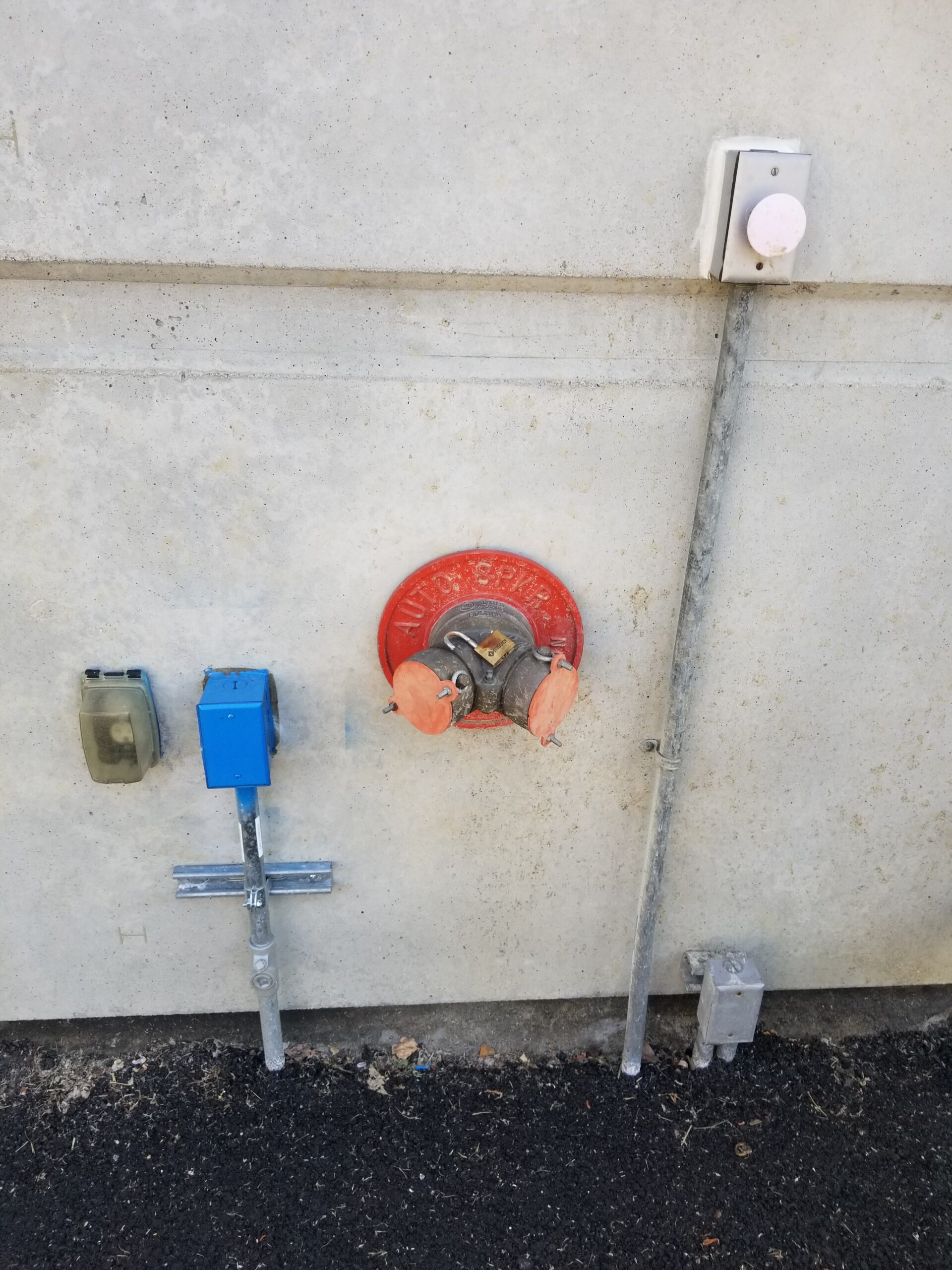
- Damage assessment
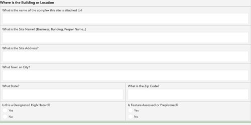
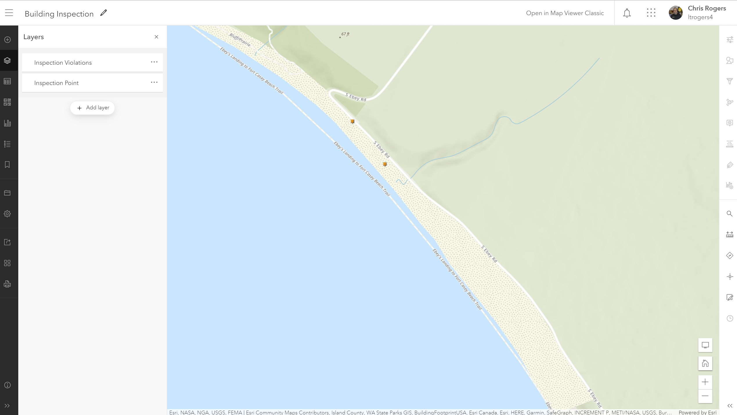
- Building inspection and risk assessment
This is just a small list of the many tasks that can be accomplished within the ArcGIS Online Platform. S
Why is it so confusing?
The AGOL environment or more appropriately “platform” is actually a group of applications, function, and resources that can be customized to attain a particular goal. For example, you just don’t create a Web Map to edit fire hydrants but you may be using Survey123 or ArcGIS Collector to collect hydrant information. What also is frustrating is some of these applications will change. For example ArcGIS Collector will migrate into ArcGIS Field Maps in the very near future.
ArcGIS Online Platform
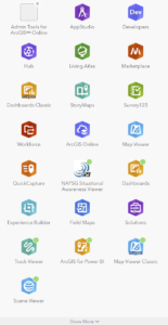
Below is a list of applications or “apps” that are on the AGOL platform that are useful for the fire service. This list is very simplified. For more information contact
- ArcGIS Online: This is the web based platform for which all other applications are maintained. AGOL is an online service that someone buys with a subscription. The model of this changes constantly so click here for more information.
- ArcGIS Enterprise or ArcGIS Portal: This is mostly the same platform as AGOL but is functionally the “internal” version of AGOL. Installed non organizations own servers vs subscribing to ESRI servers
- ArcGIS Collector: Map based data collection tool.
- Survey123: Form based data collection tool.
- Operations Dashboard: A dashboard application very similar to PowerBI or other dashboard applications
- Quickcapture: An app that is a simple “push button” data collector. Primarily used for collecting point data such as damage assessment
- ArcGIS Storymaps: An application to “present” or “brief” a group using map and content information. I would describe it as the Powerpoint of the map world