Introductions

This blog will discuss how Geographic Information Systems (GIS) can be a valuable tool in Public Safety. The Mapping Tech in Public Safety Blog will also be a companion to the podcast of the same name. The purpose of this blog is to introduce non-technical information about GIS  and the…..

READ MORE Introductions

Mobile Mapping Software

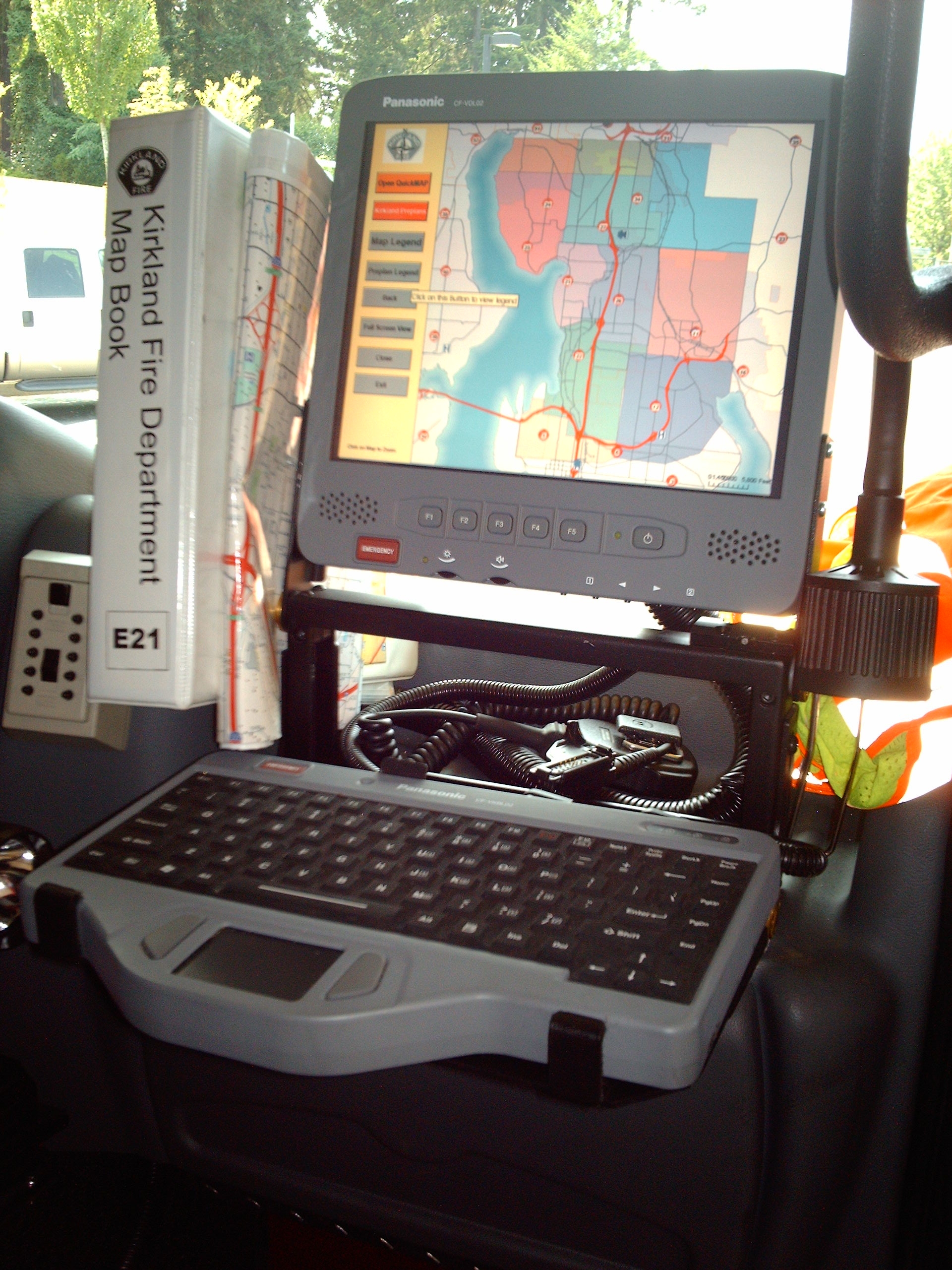
I get a lot of questions about in vehicle mapping and what is the best solution. I have evaluated several products and I can tell you that all of them are good products. First of all I’ll tell you my bias, the best option for mapping software is software created in a recognized GIS software. The most common application use MapObjects or the newer ArcObjects created by ESRI. There are application based on other mapping applications including MapInfo or Integraph, but the dominate applications are ones created by ESRI.

READ MORE Mobile Mapping Software

GIS in Urban Search and Rescue

Semper Gumby Always be Flexible! Mapping Tech in Public Safety interviewed Chief John Morrison with the Vienna Volunteer Fire Department and Battalion Chief Ry Kendrick with the Fairfax County Fire Department.  Both are members of the Virginia Urban Search and Rescue Task Force 1 (see bios below).  We discussed practical…..

READ MORE GIS in Urban Search and Rescue

GIS Preparedness

As Public Safety personnel, a major portion of our job is to be prepared. Checking out our apparatus, equipment, training for different types of events. We are prepared when an incident occurs. In the GIS Public Safety field, preparedness is just as important. Assuring that the proper data is available,…..

READ MORE GIS Preparedness

Using GIS in Next Generation 911

What happens behind the scenes with GIS when you call 911? What is NG911? Currently it is an analog system based on Master Street Addressing Guide (MSAG) and the Automatic Location Information (ALI) database. The ALI database is maintained by telecommunication companies for the local government agencies, which is provided…..

READ MORE Using GIS in Next Generation 911